Neighbors still stop at the fence near Kingsbury Commons most mornings. Some leave flowers. A few just stand there for a minute, the way you do at a spot that used to mean something specific, then turn around and walk back the way they came. Almost nobody keeps going north.
That's worth noticing, because the walk doesn't have to end there. It never did.
What Happened at Pease Park
On the morning of May 21, 2026, the 18-foot wooden troll known as Malin burned to the ground near Kingsbury Commons. Austin Fire Department crews responded before 5:30 a.m. and the investigation into the cause has continued since, with an arson unit on scene the same morning. The sculpture had stood for a little over two years, built by Danish artist Thomas Dambo with roughly 150 volunteers and funded privately by Austin philanthropists Lynne Dobson and her husband Greg Wooldridge. Much of the wood came from a decommissioned water tower at UT's J.J. Pickle Research Campus, repurposed rather than milled new.
On June 24, hundreds gathered at Pease Park for a memorial, pouring water into what remained of the fountain at Malin's base and leaving hand-painted stones and figurines. Whether the conservancy rebuilds is still an open question. Nobody I've talked to expects an answer soon.
None of that is really the point of this piece. The point is what the loss revealed about how people in this neighborhood actually walk.
The Landmark That Was Never Technically Ours
Here's the detail that gets lost in the mourning: Kingsbury Commons and the Pease Park grounds sit roughly half a mile from Pemberton Heights, across the boundary in the shared territory near Old Enfield and Clarksville. Malin was never inside Pemberton Heights. Residents walked to her, the way you'd walk to a neighbor's porch light, but she belonged to a different address.
Meanwhile, several blocks north, still along Shoal Creek but this time genuinely within Pemberton Heights' own footprint, sits a stretch of the same trail that most residents who make the daily loop south have simply never explored: Seiders Springs.
It isn't hidden in any dramatic sense. It's on the map, it has a Yelp listing, the Shoal Creek Conservancy has written about it for years. It's just that the neighborhood's habit runs south, toward Pease Park and the splash pad and, until recently, the troll. The stretch that actually sits inside the boundary lines of Pemberton Heights gets driven past on the way to somewhere else.
What's Actually There
Seiders Springs Park sits on the east bank of Shoal Creek, generally described as running between 34th and 38th Streets, near the Ascension Seton medical campus. The address most commonly listed is 1380 W. 34th Street. It's a small park, about four acres, but it functions as the northernmost formal entrance into the Shoal Creek Greenbelt trail system, which means it connects to the same creek corridor residents already associate with the walk south.
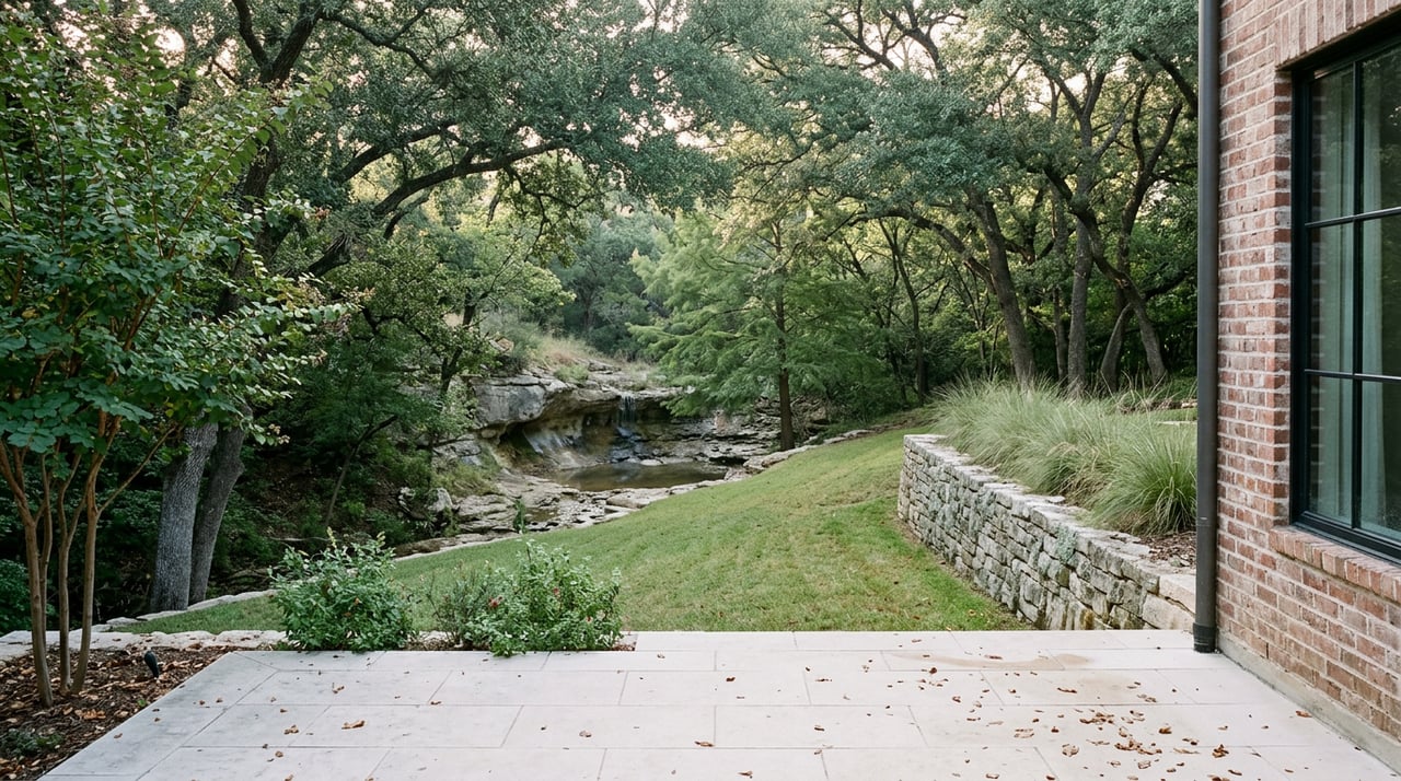
What sets it apart is underfoot and overhead. The limestone seep springs that give the park its name still flow, drawn from a rock face across the creek from a stand of old live oaks known as Seiders Oaks. Past the oaks, the trail narrows into a short rock passage where the overhangs drop low enough that taller walkers need to duck. It's an odd fifty yards for a stretch of trail that sits inside a residential Austin neighborhood, and most people who live within a ten-minute walk of it have never gone.
A few practical notes if you decide to check it out:
- The creek crossing near the springs is a cement walkway, easier underfoot than most Shoal Creek crossings and passable by wheelchair.
- The springs run most reliably after rain. During dry stretches, expect a slower trickle rather than the fuller flow you'll see in photos from wetter months.
- The rock overhang section is short but genuinely narrow. If you're walking with kids or a dog on a long leash, budget an extra minute to get everyone through single file.
- Shade is heavy through most of the loop, thanks to the oak canopy, which makes it a reasonable option even in the slower-moving heat of a Central Texas September afternoon.
Who the Seiders Were
The name traces back to Edward Seiders, who ran a grocery and livery business in early Austin, and his wife Louisa, whose family had settled near the springs in the 1830s. By the 1870s, the springs had become a small recreation spot with bathhouses and a dance pavilion, drawing Austin residents out from downtown for the cool water long before the neighborhood around it existed in its current form. A historical marker at the site still carries the family name into the present, which is more than most of Pemberton Heights' newer landmarks can claim.
It's a strange thing to sit fifty feet from a hospital parking structure and still find water running out of exposed limestone the way it has for close to two centuries. Most of Shoal Creek downstream has been shaped, rerouted, and rebuilt around the neighborhoods that grew up alongside it. This particular quarter mile hasn't changed nearly as much.
Why This Is Worth Doing Now
With Malin gone and her future undecided, the walk south doesn't have the same fixed destination it did in the spring. That's not a loss so much as an opening. The stretch of Shoal Creek that actually belongs to Pemberton Heights, geographically and historically, has been sitting four blocks north of the trailhead most people default to, waiting for exactly this kind of moment to get noticed again.
You don't need a reason to walk somewhere new. But if you've been circling the same loop toward a fence with flowers on it, Seiders Springs is a genuinely different fifty yards, and it's the one piece of this trail system that was always yours to begin with.
If you're weighing a move within Pemberton Heights, curious about a specific street, or just want a longer conversation about how this corner of Central Austin actually lives day to day, Katherine Beckworth is always glad to talk. Let's Connect.